Back To List

June 5, 2024
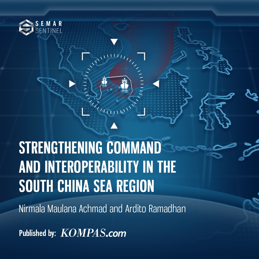
Strengthening Command and Interoperability in the South China Sea Region
Categories :
Defence Doctrine“The South China Sea, or SCS, is in Indonesia’s front yard, and of course we don’t want to see any conflict or even open war in the region.”
That was said by the Coordinating Minister for Political, Legal, and Security Affairs, Hadi Tjahjanto, when he was appointed as a keynote speaker in an online discussion hosted by the Indonesia Strategic and Defence Studies (ISDS) titled “Guarding Sovereignty and Finding Strategic Partners in the South China Sea”, March 19, 2024.
Hadi, who is a former TNI Commander and Chief of Staff of the Indonesian Air Force (KSAU), said that instability and conflict in the SCS will have a global impact, and threaten Indonesia’s national security and economic interests in the region.
In the context of geostrategy and geopolitics, the SCS is a region that has high strategic value and contains abundant natural resources. The SCS is home to one third of the world’s trade cargo ships. The SCS also contains reserves of natural gas and petroleum.
There are at least six countries in dispute in the SCS. The area around the Spratly and Paracel Islands is most often disputed by claimant countries. Spratly is the closest to Indonesia compared to Paracel.
“Based on the news, the area with intensifying tension is near the Spratly Islands, near the Taiwan Strait,” said the Chief of Staff of the Indonesian Navy (KSAL), Adm. Muhammad Ali, at the Naval Transport Command Headquarters (Kolinlamil), Tanjung Priok, North Jakarta, January 25, 2023. This is a response to recent reports regarding the presence of Chinese coast guard vessels in the northern seas of Natuna Sea, an area that falls within Indonesia’s Exclusive Economic Zone (EEZ).
Kompas Research and Development data noted that there are major oil and gas reserves in the SCS sea.
There are petroleum deposits, one of which is in the Spratly Islands, estimated to have up to 17.7 billion tons of oil reserves. Moreover, based on data from the United States (US) Geological Survey, there is also hydrocarbon content of which 60 to 70% is natural gas.
The Spratly Islands are situated at a considerable distance from the northern waters of Natuna, extending along the length of Java Island. While Indonesia is not a claimant or directly involved in territorial disputes, the SCS, spanning 3.5 million square kilometres, remains a strategic area directly adjacent to the country.
Current condition of the SCS
The root of the conflict in the SCS is China’s nine-dash line claim, which is based on a Chinese map in 1947. However, the claim is contested by other claimant countries.
Claimant countries adhere to the United Nations Convention on the Law of the Sea (UNCLOS) 1982. Additionally, the Permanent Court of Arbitration (PCA) ruled in 2016 that claims based on the nine-dash line are illegal, reinforcing the framework of international maritime law.
Despite pressure from the international community, China has persisted in expanding its territorial claims. Through the release of the 2023 China Standard Map Edition, it has introduced the ten-dash line, further extending its maritime assertions.
According to the Indonesian National Border Management Agency (BNPP), the ten-dash line extends 1,500 kilometres south of Hainan Island, encroaching upon the EEZs of Malaysia—near Sabah and Sarawak—as well as Brunei Darussalam, the Philippines, Vietnam, and Indonesia’s territorial waters.
This revised claim, forming a ‘U’ shape, signifies China’s attempt to expand its maritime jurisdiction in the South China Sea.
“As a non-claimant country, Indonesia has consistently raised objections, as the map is not in accordance with UNCLOS 1982,” stated by M. Tjahjanto.
The rejection was also expressed by Indonesian Foreign Minister, Retno Marsudi, who said that any line drawing or claim must be in accordance with UNCLOS 1982.
India even protested the ten-dash line claim as China’s new map includes the Arunachal Pradesh and Aksai Chin regions.
In line with that, the SCS situation continues to heat up.
In a post on his X account, December 9, 2023, a journalist from the Philippines, Frances Mangosing, reported that a Chinese coast guard ship fired a water cannon at a Philippine fishing boat near Panatag or Scarborough Reef.
In a video, two Chinese coast guard ships appeared to be much larger than the Philippine fishing boat.
China’s claims regarding the SCS area continue. In March 2024, Radio Free Asia reported that the Chinese government announced a baseline claiming its territory in the part north of the Gulf of Tonkin with Vietnam.
Through a press statement on the Chinese Ministry of Foreign Affairs website, China released seven connected base points and formed a new baseline to claim China’s sovereignty in the Gulf of Tonkin or Beibu Gulf.
US Alliance Containing China
In September 2021, the US responded to China’s actions by forming an alliance AUKUS, which is an acronym for Australia, United Kingdom (UK), and US. Its first initiative is a commitment to support Australia in acquiring nuclear-powered submarines.
Through a press statement on the US State Department website, the formation of AUKUS, is said to support the US to face future challenges.
“Strengthening our defence, increasing deterrence, and contributing to peace, security, and prosperity in the Indo-Pacific region and beyond,” said the Chairperson of the Senate Foreign Relations Committee, Bob Menendez.
Previously, the US together with India, Japan, and Australia had also formed an alliance in the Indo-Pacific region called QUAD in 2007. Indonesia is aware of the growing tension between the US and its allies with China in the region. The SCS dispute is becoming increasingly complex.
“The United States is strengthening its strategic alliances, including AUKUS and QUAD, to counterbalance China’s growing influence in the region. The US aims to reinforce the principle of freedom of navigation as a fundamental right in the South China Sea,” stated M. Tjahjanto.
The Chief of Staff of the TNI AU (2002-2005) who was also the Head of the Indonesian Air Power Study Centre, Marshal (Ret.) Chappy Hakim, said that the formation of AUKUS and QUAD were US efforts to balance western power with China in the Indo-Pacific.
“Why is the South China Sea (SCS) a focal point? Because the US seeks to enhance the balance of power, reinforcing Western influence in the Indo-Pacific,” said M. Hakim in an interview with Kompas.com on Monday (5/27/2024).
Indonesia remains actively committed to promoting peace, as stated in the Preamble to the 1945 Constitution (UUD) Paragraph 4, which emphasizes the importance of establishing a world order based on freedom, lasting peace, and social justice.
In collaboration with Southeast Asian nations, Indonesia is playing a key role in drafting a Code of Conduct (COC) for the South China Sea between ASEAN and China. This initiative aims to regulate state conduct in the region and transform the SCS into a “sea of peace.” However, further efforts are required to ensure lasting stability.
Violations of maritime sovereignty in the northern seas of Natuna, which borders the South China Sea, continue to occur. Most recently, the Directorate General of Marine Resources Supervision of the Ministry of Maritime Affairs and Fisheries arrested two Vietnamese-flagged vessels that were illegally fishing in the northern seas of Natuna, on May 5, 2024. Two captains and 20 crew members were arrested, and 15 tons of fish were seized.
Data from the Indonesia Ocean Justice Initiative highlights the prevalence of illegal fishing in northern seas of Natuna and surrounding areas of the South China Sea. In May 2022 alone, 60 Vietnamese-flagged vessels were reported engaging in illegal fishing within Indonesia’s non-disputed Exclusive Economic Zone (EEZ) in northern seas of Natuna.
Although Indonesia is not a claimant in the South China Sea disputes, historical tensions with China in the region cannot be overlooked.
In 2016, the fisheries surveillance vessel Hiu 11 was unable to intercept the illegal Chinese fishing vessel KM Kway Fey 10078 due to intervention from a Chinese patrol ship.
Following this incident, multiple Chinese vessels were detained by the Indonesian Navy. According to data from Research and Development Department (Litbang) Kompas, tensions escalated again during enforcement operations, notably when KRI Imam Bonjol-383 seized a Chinese ship, hull number 19038, on June 17, 2016. The situation intensified as a Chinese coast guard vessel pursued the Indonesian navy ship, demanding the release of the captured fishing vessel.
Another notable incident occurred in late May 2016, when KRI Oswald Siahaan-354 apprehended the Gui Bei Yu ship in the Natuna Sea.
Quoting Indonesian Minister of Defence, Prabowo Subianto, at the Indo Defense Expo & Forum on October 27, 2022:
“No nation ever intends to go to war, yet history shows that war remains an unavoidable reality.”
Prabowo emphasised that maintaining peace requires readiness for conflict. As the Latin adage states, “Si vis pacem, para bellum”—If you want peace, prepare for war.
Strengthening command and interoperability
To address the tension in northern seas of Natuna and the South China Sea, M. Hakim suggested strengthening command and control (kodal). The former KSAU suggested that the defence and security command should be under one control.
“If we consider the South China Sea critical, it will be difficult for us. Why? Because our maritime power is not yet integrated, not under one command,” M. Hakim told Kompas.com, Monday (5/27/2024).
He argued that the Indonesian Navy (TNI AL) warships, the Indonesian Maritime Security Agency (Bakamla), the Ministry of Maritime Affairs and Fisheries, and the Customs operations should be under one command.
“If the maritime units are not integrated, it is impossible to overcome anything,” said M. Hakim.
M. Hakim gave the example of Task Force (Satgas) 115 which was formed during Susi Pudjiastuti’s era as Minister of Maritime Affairs and Fisheries. Task Force 115 had sunk hundreds of foreign fishing vessels in the Fisheries Management Area of the Republic of Indonesia (WPPNRI).
With the existence of this kind of task force, problem handling can be carried out well because of the operations of the Indonesian Navy, Bakamla, the Maritime Police Corps (Polairud), Attorney General’s Office, the Indonesian National Police (Polri), until Customs are under the same framework.
“Ms. Pudjiastuti’s target is actually fish thieves. But unconsciously, that is the core of maritime national security. Holding control. After all, everyone is subject to the Task Force Commander,” said M. Hakim.
M. Hakim noted that ongoing operations in the northern waters of Natuna and the South China Sea have created operational challenges for Bakamla.
During an online ISDS discussion on March 19, the Head of Bakamla, VADM Irvansyah, suggested a strategic shift in maritime security operations in the SCS.
“Domestically, we believe that during peacetime, the coast guard should take the lead in operations, with the military providing support in the northern waters of Natuna. Deploying the military as the primary force tends to escalate tensions in the region,” M. Irvansyah explained, outlining his proposed operational framework.
On the other hand, Indonesia is also perfecting its coast guard institution unit because of the overlapping responsibilities of various entities.
In a seminar entitled “Development of Maritime Security to Support the Achievement of the 2025-2045 RPJPN Target”, July 5, 2023, then-Coordinating Minister for Political, Legal and Security Affairs, Mahfud MD, said that President Joko Widodo ordered the formation of a coast guard; to carry out security, safety, law enforcement in Indonesian waters and jurisdiction.
In addition, the TNI’s interoperability in guarding the northern seas of Natuna and SCS areas also needs to be improved. The TNI is aware of the importance of interoperability of the three dimensions of strength in facing various tasks.
This was conveyed by then-Chief of General Staff (Kasum) of the TNI, Lieutenant General TNI (ret.) Muhammad Herindra, at the launch and review of the book “75 Years of the TNI”, November 2, 2020.
Interoperability must be improved because the evolving dynamics of global security, especially in the SCS. Moreover, the TNI is also modernising its main weapons system.
Lead analyst at PT Semar Sentinel Indonesia, Andi Raihanah Ashar, emphasised the critical importance of aligning the modernisation of defence equipment with strategies that enhance operational effectiveness and situational awareness.
“As part of this process, adopting principles of collaborative combat and interoperability is essential, enabling the TNI to detect threats and respond swiftly,” Ms. Ashar said in an interview with Kompas.com on Thursday, May 30, 2024.
This approach highlights the need for seamless integration to strengthen capabilities in anti-submarine, anti-surface (ASUW), and anti-air (AAW) warfare, supported by advanced acoustic and sensor technologies. Integration is facilitated through the Combat Management System (CMS) and Tactical Data Link (TDL) systems.
Furthermore, Ms. Ashar stressed that optimising the integration of the TNI’s three-dimensional capabilities is key to improving decision-making efficiency. This can be achieved by leveraging Command and Control (C2) systems, along with Command, Control, Communications, Computers, Intelligence, Surveillance, and Reconnaissance (C4ISR) frameworks.
M. Hakim emphasised the urgent need for Indonesia to establish a clear defence and security doctrine, including a well-defined national maritime security strategy. He also urged the government to proactively develop capabilities in cyber and smart warfare to stay ahead in modern conflict dynamics.
As an example of smart warfare, Hakim referenced the recent helicopter accident that led to the death of Iranian President Ebrahim Raisi, highlighting how Iran lost its commander-in-chief amid ongoing tensions with Israel.
He pointed out that cyber and smart warfare are characterized by the integration of artificial intelligence (AI), autonomous control systems, and drone technology. Without immediate action, Indonesia risks falling behind in these critical areas.
“If we take a step back, we see that Indonesia lacks a fundamental defence and security doctrine, as well as a structured national maritime security strategy. Without a strong foundation at the top, operations at lower levels will lack direction. The key is to establish a comprehensive concept first—only then can we define the specific tasks that follow,” M. Hakim stated.
Kompas.com | Nirmala Maulana Achmad, Ardito Ramadhan
Pictures